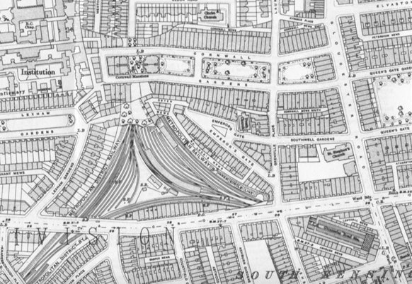
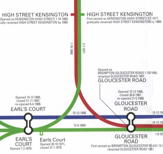
A junction of three Underground lines(1914)
|
| |
|
DISTRICT LINE Opened 12/4/1869.
DISTRICT LINE Opened 3/7/1871.(High Street Kensington - Earls Court).
PICCADEILLY LINE Opened 15/12/1906.
CIRCLE LINE Opened 1/10/1868.(Opened METROPOLITAN LINE)
PICCADEILLY LINE was build by the shield method.
DISTRICT LINE and METROPOLITAN LINE was build by the open-cut method and
not covered for smoke extraction.
First of underground railway was Opened 1/10/1863(Paddington - Farringdon),
north area of this Map.
|
|
|
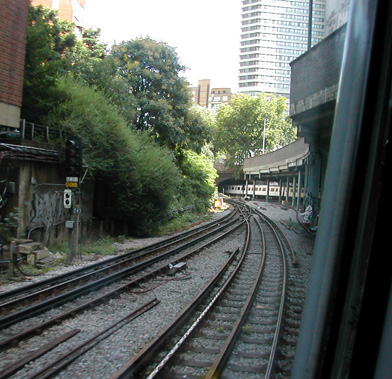
High Street Kensington
Earl's Court
Gloucester Road | |
 From High Street Kensington to Gloucester Road(CIRCLE LINE),
front white coach is DISTRICT LINE from Gloucester Road to Earl's Court.
From High Street Kensington to Gloucester Road(CIRCLE LINE),
front white coach is DISTRICT LINE from Gloucester Road to Earl's Court.
|

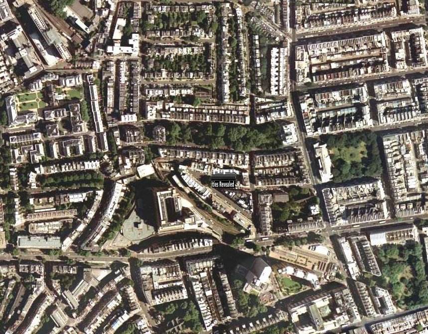
aerial photograph |

Underground Map |
|


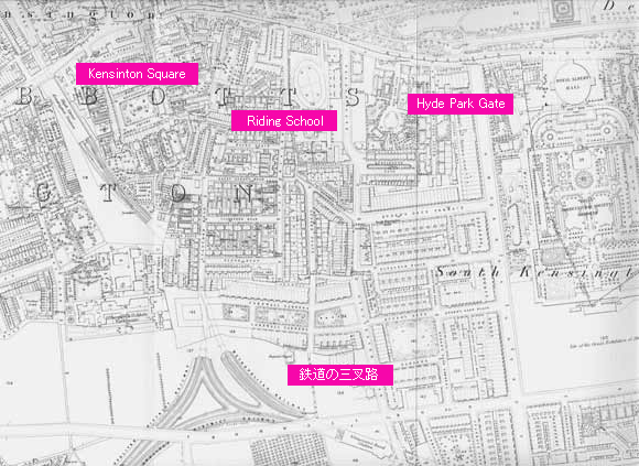
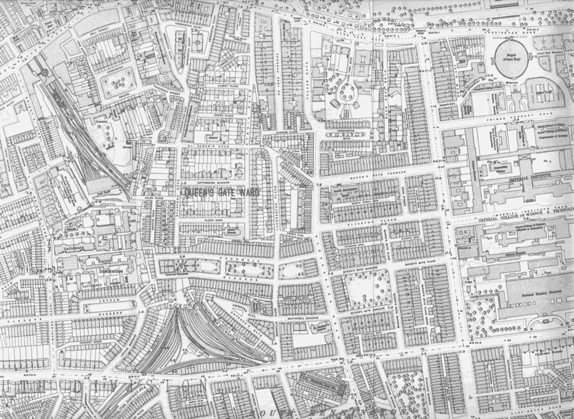
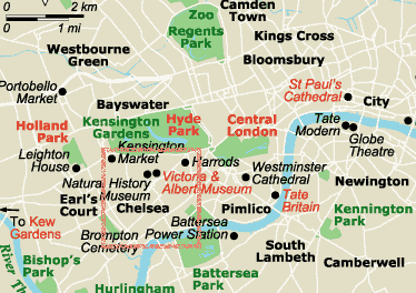 Kensington area is southwest of London. It is AKASAKA or AZABU in Tokyo.
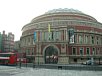
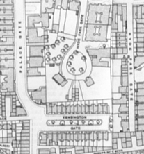
Royal Albert Hall was constructed at 1871.
Kensington area is southwest of London. It is AKASAKA or AZABU in Tokyo.
Royal Albert Hall was constructed at 1871.
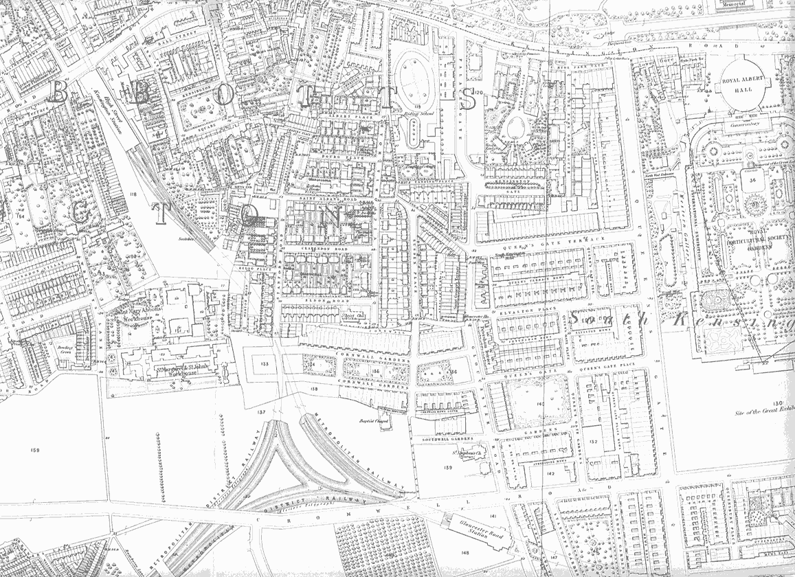
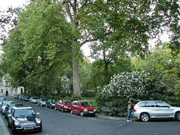
 It is not changed from 130 years. Only trees was moved.
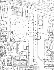
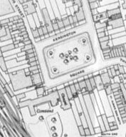
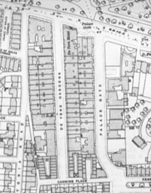 This is most changed area.
Riding School(1871) was changed to buildings.
This is most changed area.
Riding School(1871) was changed to buildings.
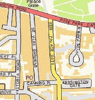 Right side is current Map.

 The Geographical Survey Institute(JAPAN)=
 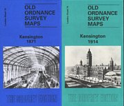 I procured Old Map by